Polar Coordinates in a colorful example

The polar Coordinates effect distorts a layer by transposing each pixel in the layers (x,y) coordinate system to the corresponding position in the polar coordinate system, or the reverse. This effect produces unusual and surprising distortion. The above photo was re-plotted from this shot of a toy vendor outside the Houston Zoo.
A simple mathematical plot gives the appearance that the Polar Projection has depth. It changes a simple photo into an artistic interpretation. The easiest way to obtain this result is to use Photoshop to perform the replotting calculations.
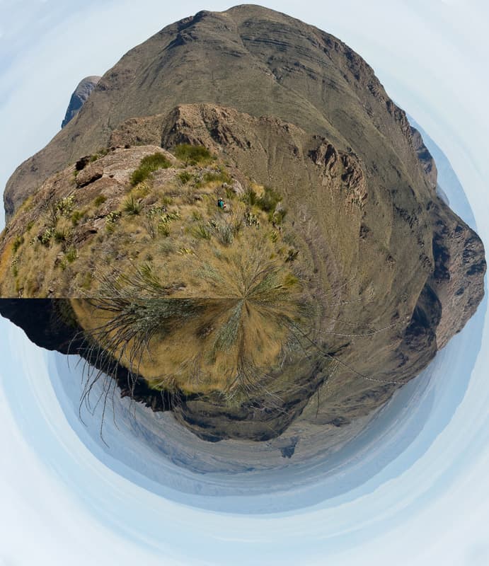
Although this technique needs to be used sparingly, I think the result is interesting. I have used it before on landscape photos with some success too. When Polar coordinates are plotted on a 360 degree panorama, the effect generates a floating “mini planet”. Distortion is a natural result of this plotting. When used judiciously, this technique can provide an alternative view of a flat plane panorama.
This panorama of Dominguez Spring in Big Bend National Park gives an example of what a landscape looks like using Polar Coordinates.

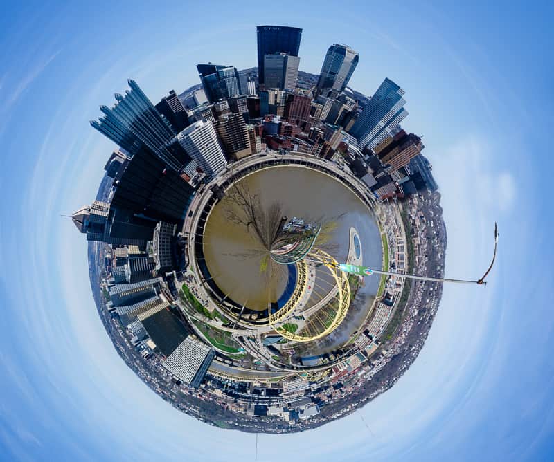
Added below is an image of the city of Pittsburgh translated to Polar Coordinates. The image was taken from a lookout on the top of Mt. Washington. It was a brilliant April day.

Try it yourself sometime and see if the results are something that please your artistic sense.
