Big Bend Desert and Springs are highlighted in this backcountry trip report from the Spring of 2010
Day 1
It was a little strange for me to make a trip without LGK, but I had a short window from work obligations, and decided to take the time while it was still possible. Drove out on Thursday the 1st and arrived to an apparently full Basin Campground in the afternoon. Temps coming into PJ hit about 95 F and the Basin was in the high 80’s. I was lucky enough to snag a 1 night spot (#34) across from the Campground host and planned to move camp the following morning to #2. I was whipped and turned in early and had a deathlike sleep under clear cool skies. My original plans included a couple of day hikes and then a tip into the Sierra Quemada to visit a few places that had piqued my interest in past, but I had not had the chance. As it turns out this goal is still on my wish list, but I’ll get to that soon enough.
Day 2
Because I had to move camp in the morning I did not get the early start that I prefer, especially with the prospect of a hot day ahead and a trip into the Dead Horse Mountains planned. Some time back I read an article about Leopold Tinaja and always wanted to visit, but couldn’t find the location, until just recently. So…armed with food water and GPS coordinates, I made my way to the closest point of approach to my intended goal.
The hike started as an easy slide up a small wash and quickly became more typical of off trail hiking in Big Bend. No boot prints, and the sun shimmering off the hard white limestone, baking the lechugilla covered slopes. I wondered how long it had been since someone else had travelled this way?
Eventually I reach a junction in the wash that would take me to my ultimate goal – Leopold Tinaja.
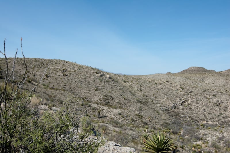
As I approached the base of the pouroff/tinaja, It became clear that there was no water in this lonely place.
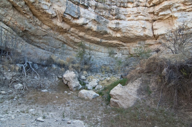
Exploring the Big Bend Desert and Springs, this canyon revealed some sign that water was sometimes present here, but not this day.
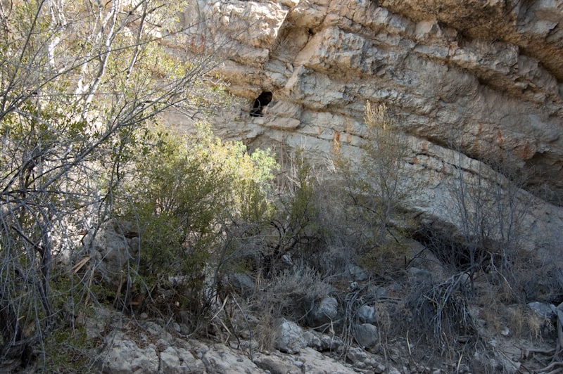
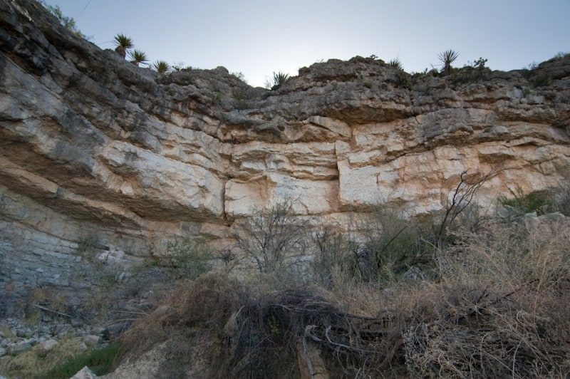
The base of the pouroff was still in shadow and appeared to be about 40′ ft to the lip above me.
It soon became readily apparent the the beehive was still active and bees were busily flying in and out of the hole in the limestone wall about 10 ft above the ground. How long has this colony been collecting desert nectar and pollen?

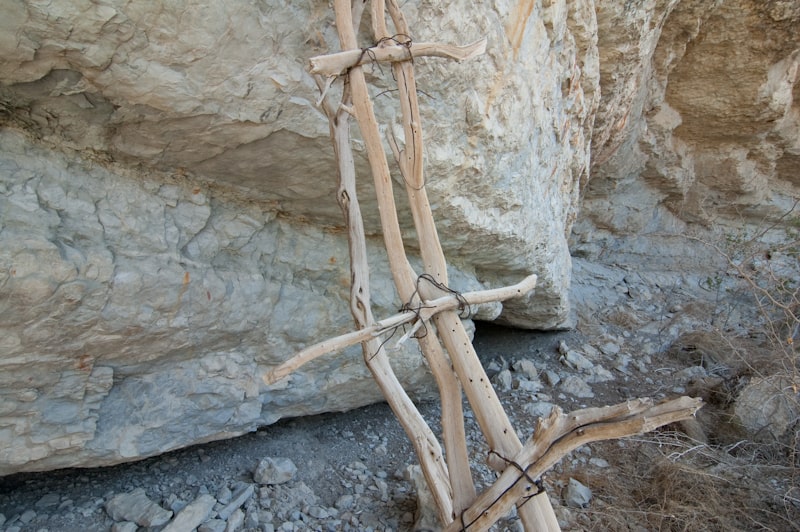
Below the bee colony’s entrance hole, the ladder described in the article, was still there, propped up against the wall of the alcove. It was a feeble looking thing made of branches and baling wire. It may have some time long ago supported the weight of a person…..but not today. The bees and their honey were safe.
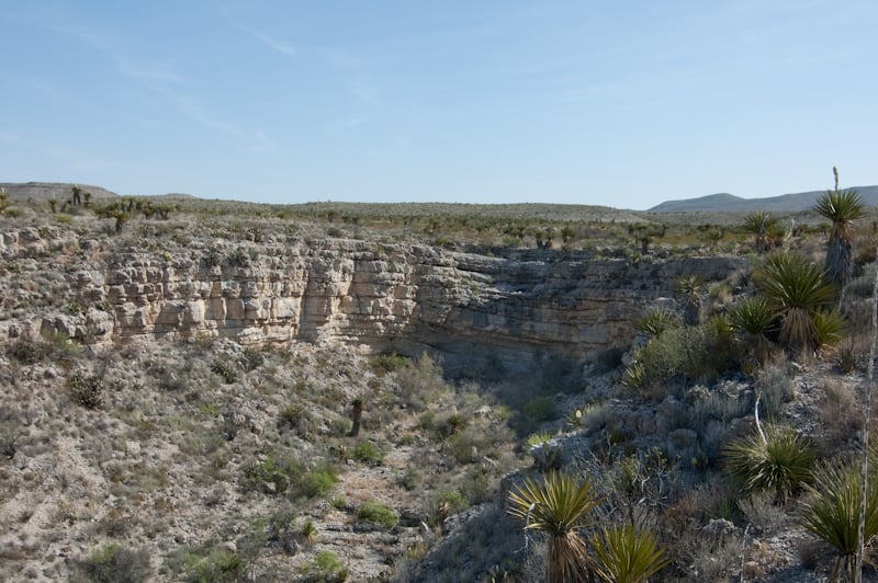
I decided to climb up and around to the top of the pouroff because it appeared that there was a small “hanging tinaja” near the lip of the pouroff. On the rim I looked back at the path I took to get here and realized that there aren’t many visitors trying to get here. I circled around another small pouroff on the south side of the canyon and rested for a while with total silence except the wind.
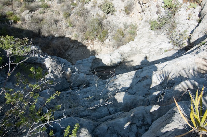
There was a small hanging tinaja about 10′ below my the drainage that feeds this canyon, but it would be very difficult to reach even if it had water. (which it didn’t). You can make it out in the shadow at the center of this photo…
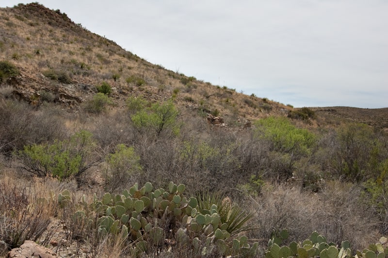
After finishing up Leopold Tinaja, resting for a bit with some trail lunch (homemade smoked venison jerky), I made my way to a point on the RGV Rd. about 4.5 Miles SE of PJ. I found a good place to park safely off the road and headed out across some rolling well vegetated terrain with Nugent Mtn to the south and the Pummel Peak gazing down from my NW. It was time again to explore some Big Bend Desert and Springs. My general direction was west, before turning SW into a broad canyon bounded on the north by pt. 4487 and on the south by pt. 4033. Although the first mile only gently rose about 200′, the washes I followed were brush choked, and didn’t clear until the canyon started to close in. From this point on the hike was typical wash travel.
After about another mile of narrowing canyon I saw the signs of water. A moderate sized lone cottonwood stood in the center of the wash. It was starting to get pretty hot at this elevation and the shade looked inviting.
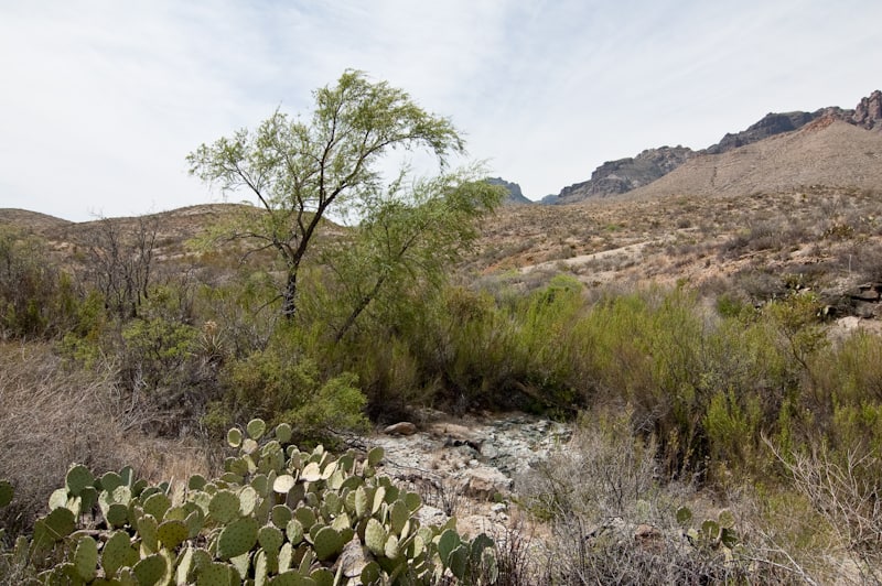
The area had some colorful rocks, but what I was interested in, was there water?
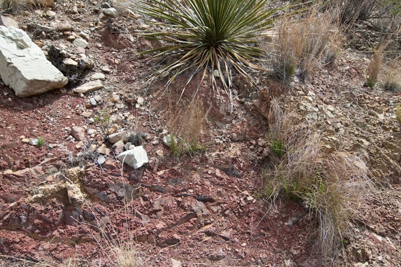
As I approached the cottonwood, it became clear that this spring indeed contained the gift of desert gold.
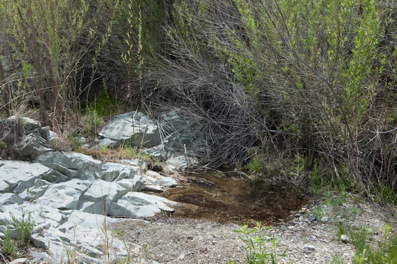
There were 3 individual pools in the spring area that quickly disappeared into the gravel of the wash I followed to get here. While this wasn’t Mule Ears as springs go, it was clear water with no signs of mineral deposits. I had plenty of water with me at any rate and left this for the wildlife.
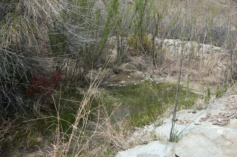
After a short rest in the shade I explored a ways beyond the spring and found the ruins of an old rock house in poor condition.
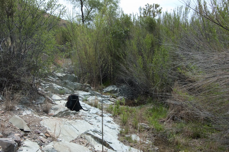
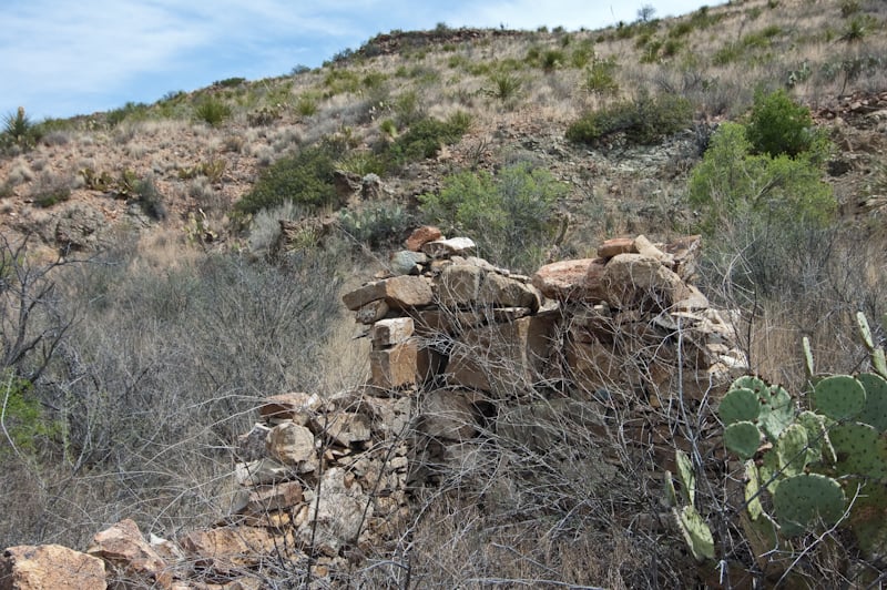
In addition to the rock house, there was a small dam just below the rock house. It was, as many others, a futile attempt to capture and save water and it was completely silted up. There was a small trickle of water seeping from the base of the dam, which immediately disappeared into the gravel at the base of the dam.
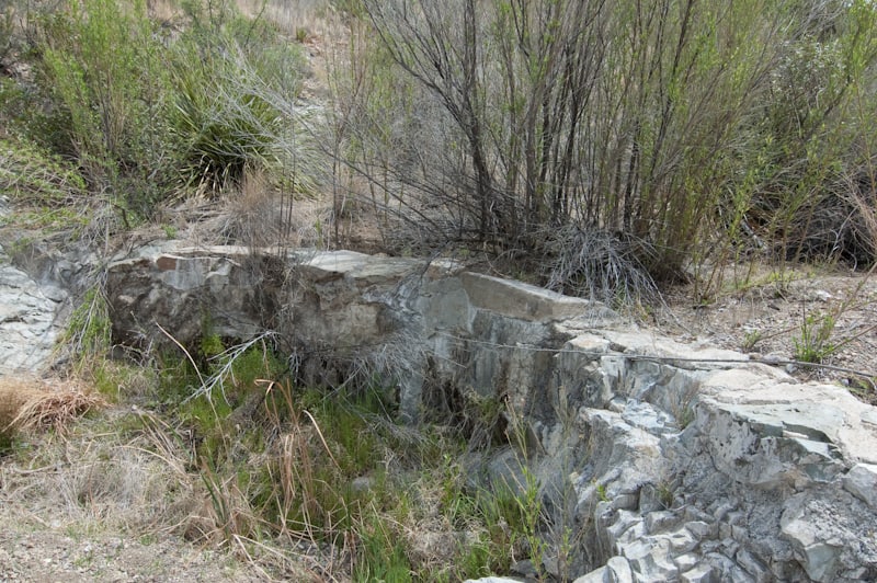
I walked upstream from the rock house a short way and the canyon started to rapidly closed in, so I called it a day and headed back.
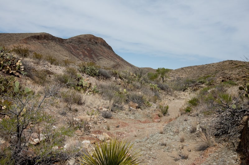
There is an old trail which leads to another possible spring north of the Pine Canyon Rd. It appears to climb out of the Rock Spring wash and follow a ridge to the west and then southwest for about 1 1/4 miles before dropping back down into another wash. I’ll get back there another day and check it out.
So far the trip was going well. One more day of day hiking Big Bend Desert and Springs and then off to the Sierra Quemada.
Day 3
Day 3 of my Big Bend Desert and Springs exploration started well. I had a good night’s sleep in the Basin and was up early to check out a couple of places that I have been looking at for a while. I headed down the mountain and parked at the Croton Spring Rd entrance. Loaded up with everything I needed for the day ( I thought ), I struck out across some severely brushy, nasty terrain in the direction of Ash Spring. The first 1/2 mile was no fun, but improved as the terrain levelled out a bit and the brush thinned. I was close to the point that I would be able to drop down into a wash that would guide me all the way to Ash Spring. At that point I spied with my little eye, an old horseshoe. I stopped and reached in my pack for my trusty Nikon…… and guess what?…..No camera!. I left it in the truck! I had to make decision to continue on without it, or round trip an extra mile through the razors to get it. I chose the path of least resistance an headed up the hill! So…..sorry no pics for this hike.
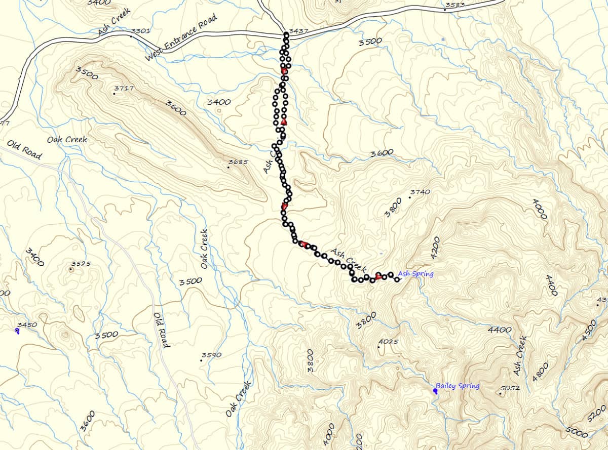
Once I reached the wash east of Pt. 3685, the trail was easier, but started to rise slowly for about 1/2 mile then more sharply for the remaining distance to Ash Spring. I started to encounter boulder choked areas of the wash and had to do a lot of climbing.
The last 1/4 mile to the spring was tough going and finally I hit a wall of water loving plants. After working my way through these, I ran into a slightly inclined 8′ pouroff, followed by a similar 15′ pouroff. Both of these were slick dark gray walls, but with adequate foot and handholds to safely climb them. Once I reached the top of these two, the next one was an overhanging 50′ dry waterfall made of the dark gray slick rock. No way up on this one and no way around. This was the location of Ash Spring. I believe this would be a beautiful spot during the wet season, but dangerous to be in during a storm. There was no easy escape from the canyon for a few hundred yards below the big pouroff.
I cooled off in the quiet shade and noticed a twinge in my left knee. I had considered travelling back down about 1/2 mile and exiting the wash to work my way south toward Bailey Spring, but the terrain in that wash was tougher looking than the Ash Spring wash, and my knee worried me a bit.
After a while I headed back toward Croton Spring Parking area and my truck. By the time I reached Croton, my left knee was throbbing and a little swollen. I was beginning to worry a little about my plans for the rest of the week. So back to the Basin, Ibuprofen and see how things go. My exploration of Big Bend Desert and Springs was in jeopardy!
The profile of the hike looks like this.
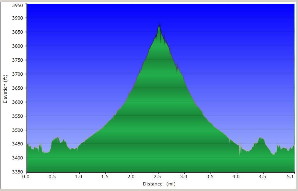
After returning to the Basin from Ash Spring, I rehydrated, and popped about 800 mg of OTC NSAID hoping to nip this in the bud. I kicked back in my chair and read for a few minutes and nodded off in the warm afternoon shade. When I awoke my knee was stiff and sore. I knew at this point that my trip into the SQ would be foolish. The heavy pack required for the SQ trip wasn’t going to help my knee on bit.
OK…..whining is for someone else. What is my alternate plan going to be? To put myself in a better thinking mode, I decided to drive down the RMSD to Sotol Vista, and see what came to mind. This exploration of hidden Big Bend Desert and Springs wasn’t over yet.
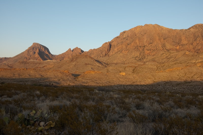
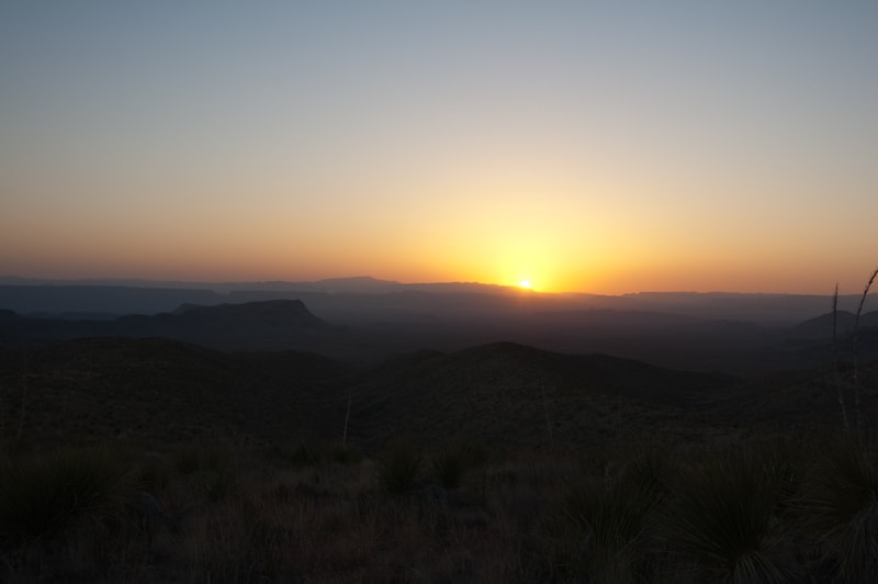
As I drove down toward SV, a few things came to me.
1. I needed to forget about the SQ and be safe.
2. The dikes near south of the Cottonwood Creek look cool.
3. There is water flowing under the bridges crossing both Cottonwood and Oak Creeks.
4. Water carves things in the most unusual shapes.
These revelations, however trivial, formulated my plan for the next couple of days. The exploration of Big Bend Desert and Springs was back on with a plan!
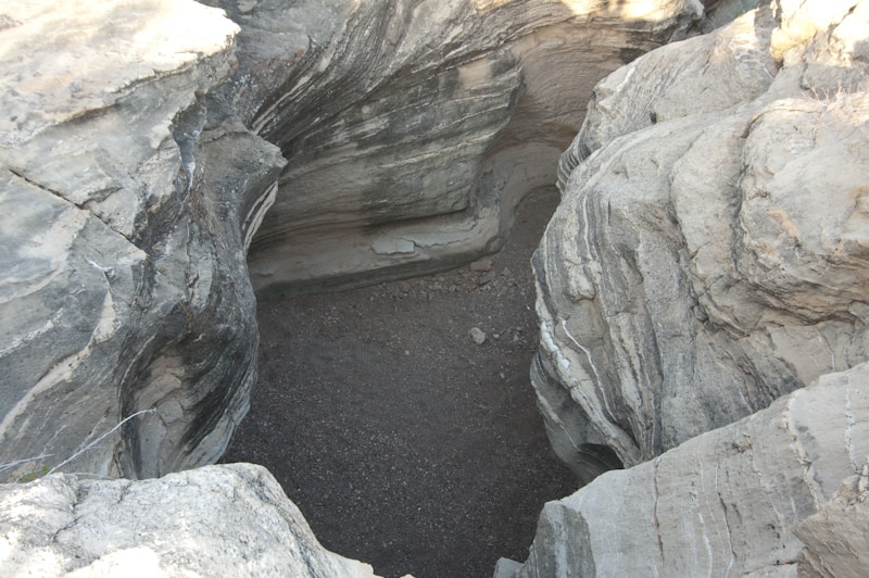
After a good sleep and a hearty breakfast of venison tamales, I headed out to salvage a respectable itinerary. My knee was swollen but no worse than the day before and I was ready to try something without a lot of elevation change. After parking at the closest point of approach (and making sure I had my camera), I headed out across the sparsely vegetated flats in the direction of my goal. After a few ups and downs I entered the wash that carried me directly to my destination – Swirl Tinaja
This resistant outcrop in the wash has been polished and scoured by countless flash floods to become the stunning sight that exists today.
It was obvious that our native ancestors also found this site fascinating. There is much evidence of their presence in the area surrounding the tinaja and the Big Bend Desert and Springs provided for them. Today they provided for me!
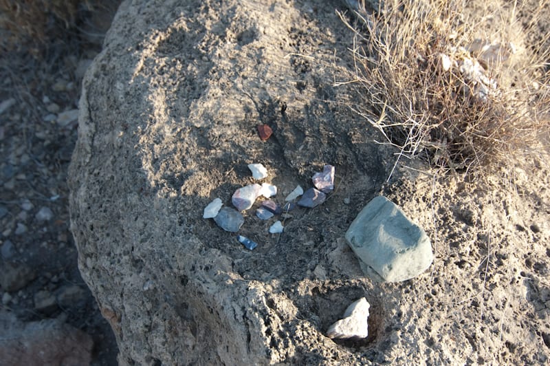
Numerous deep metates surround the tinaja.
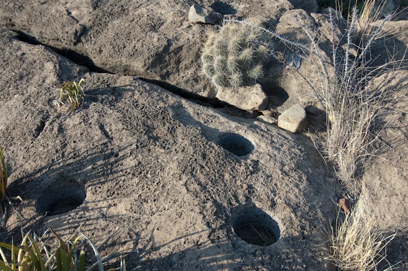
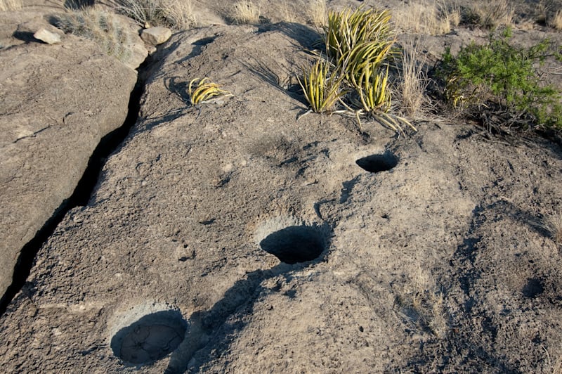
This short hike leads to a fascinating destination that was “knee friendly”
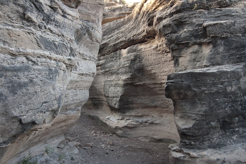
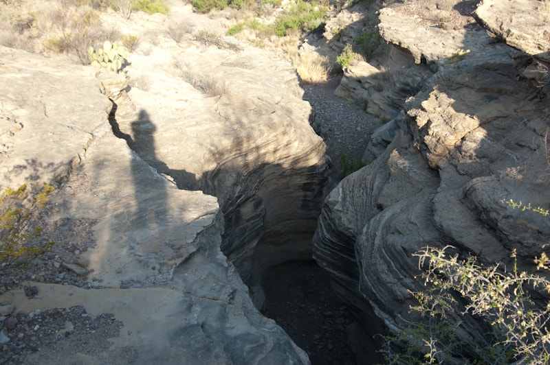
I headed back to my truck with a sense of awe about the people who lived in and with this incredible piece of Texas.
After another snack of Ibuprofen (I buy the generic economy bottles!), I felt I had a few more flat land miles in me today and headed for another of of my ” revelation” destinations.
After leaving Swirl Tinaja, I made my way to the Cottonwood Creek bridge, just west of the RMSD. As noted there was water flowing in the creek and I decided to climb down the bank and hike south along the creek and the base of Burro Mesa as far as my knee would allow. It turned out to be a delightful trip. Water was pretty much continuous along my 4 mile round trip.
Immediately after heading south from the bridge.
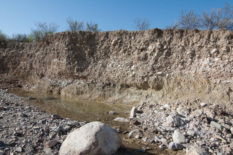
Just upstream there was a seep entering from the west bank. Large pools formed where some of the banks had collapsed into the wash.
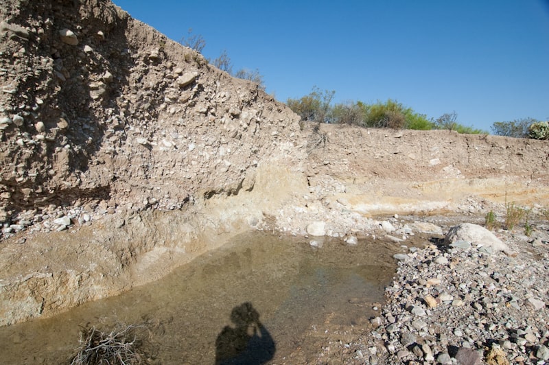
As I continued farther upstream, groves and single cottonwood trees provided shade and shelter for birds and other animals as evidenced by the concentration of tracks all along the wash.
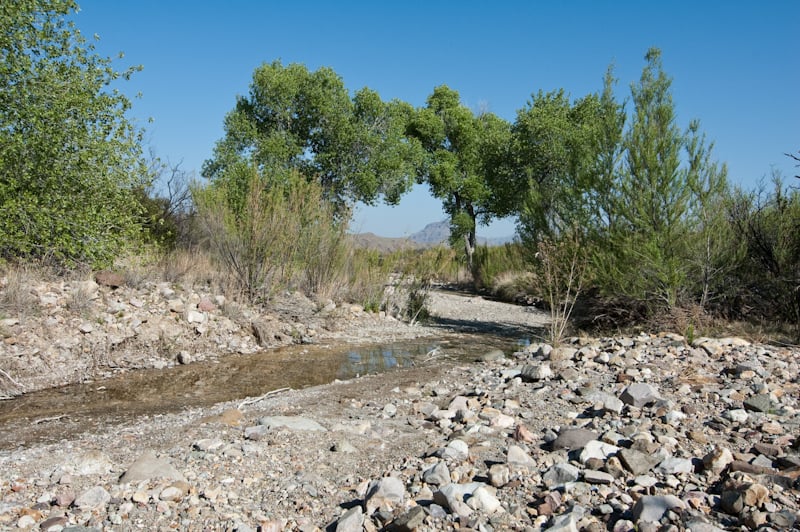
This would be a great place for an easy overnight trip. There has to be a lot of critters coming here for water.
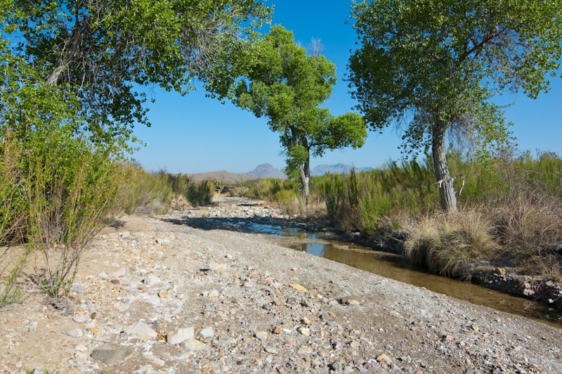
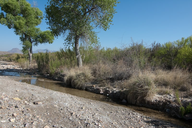
On the way back to my truck, I came across 4 javelinas wallowing in one of the deeper pools in the creek. They took off running when they saw me, but there is no doubt that this place is a wildlife magnet. it would be a great dawn or dusk photo opportunity site for wildlife. I saw deer, javelina, coyote, fox and lion prints in the soft parts of the wash, and the highest density of anywhere I have ever seen in the park.
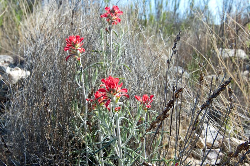
Although I didn’t get to go to the SQ, this was turning out to be a good “odd mix”!!
After Cottonwood Creek I went back to the Basin for a short rest but got the urge to do something close and easy. I have never been to Kibbe Spring, so I parked at the Lost Mine Trail area and proceeded up the trail. After about 20 yds, I took a sharp right and immediately picked up a faint trail running toward the west. The trail climbs gradually along the north flank of CG and eventually circles to the SW. I’m not sure, but I believe it eventually connects with the Pinnacles trail somewhere near Juniper Flat?
The trail quickly leaves the trees and exposes itself to the open slope of CG
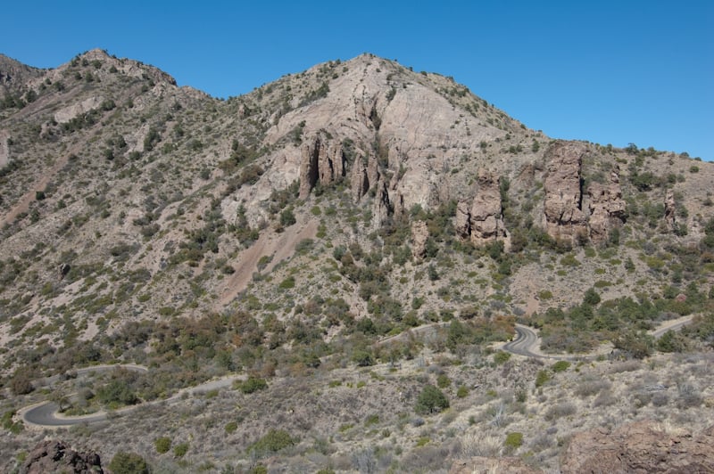
Soon a view of the campground and the northern boundary of the Basin
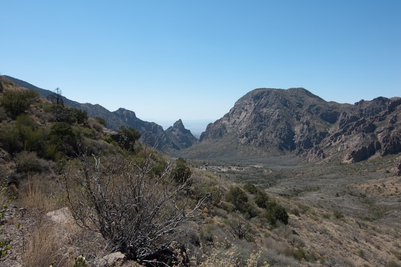
Casa Grande looms overhead along this trail.
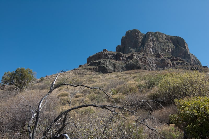
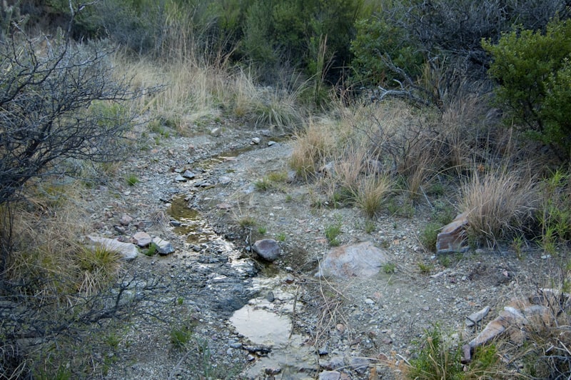
This is the site of Kibbe Spring – muy seco
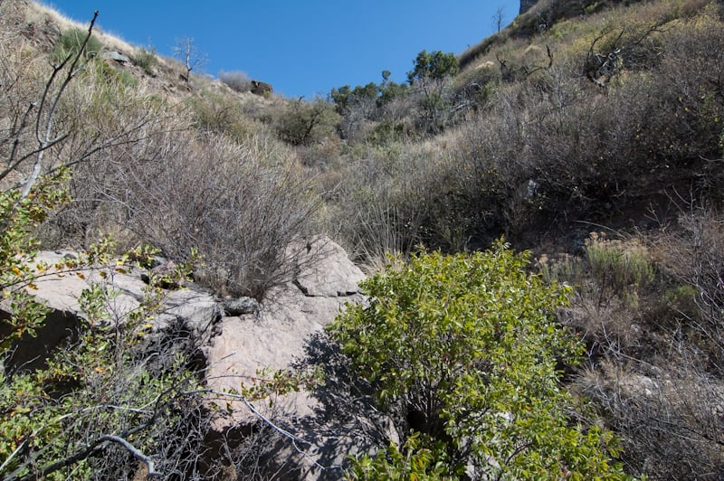
I eventually worked around to a point where the trail was becoming indistinct, rocky and generally too much work for this late in the day. I took a series of photos for a pano and then turned around.
I believe the trail eventually circles around to connect with the Pinnacles trail near Juniper Flat, but I’ll leave that for another day. Back to the basin for the night, with one more hike in the morning before departure.
Awoke early on the last day with plans to hike to Ward Spring, come back to camp and break everything down and head back to Houston. As typical, the Basin was warmer than the lower elevations, and by the time I had reached the parking area for Ward Spring it was cool and still in the shadow of the Chisos.
Ward Spring is a pleasant hike with the destination visible from the road. Part of the trail parallels an old pipeline fro the Wilson ranching era. I finished my Big Bend Desert and Springs exploration trip here, but I know I’ll be back again soon. So much to see.
I worked in Big Bend as an instructor/field assistant on TJ Avery’s Milky Way and Landscape Photography course for about 10 years. After each session we would stay on for a few days after the students had left to decompress and explore. One of our favorite places to hike to was Swirl Tinaja and I have several videos and photos of our visit. It would be great to spend a few minutes with you to talk about it. TJ died about 4 years ago and I have been wanting to go back for another exploratory visit. Thanks for the trip report.
TJ was a gentleman. He is missed by all.
Thanks for the fascinating visit to this part of the Big Bend Desert and Springs. I was especially interested because my grandmother, Serene Kibbe Cary (and her brother, Alfred and her sister, Edna) discovered Kibbe Spring when they were children. The family homesteaded there, raising donkeys for the Army. I’ve never been there but now, thanks to your photo, I have a picture of it.
Carol Harlig
Scottsdale, AZ
Glad it brought you good memories!