The Plan
It was my intention to make my way to the top of Burro Mesa Big Bend National Park for two reasons. The primary goal was to cross the mesa. Secondly to see if there was a feasible path from the mesa, through Hambly Spring. Additionally down to the desert to the west. If possible, this route was to be part of a longer loop trip for a winter hike. Additionally a reason for ascending the mesa was to investigate some of the remains of the ranching operations that utilized the mesa in pre-park days.
The Hike
My hike started at Sam Nail Ranch and I arrived in the morning in order to get an early start. Before the daytime temperatures drove me off the mesa, or melted me. My plan was to enter Cottonwood Creek and hike downstream for about 1/2 mile until I came to a place in the mesa that looked accessible for an ascent. This turned out easier said than done. The growth along Cottonwood Creek is extremely thick and thorny and I spent more than 20 minutes just getting from the old windmill to the gravel bed of the creek.
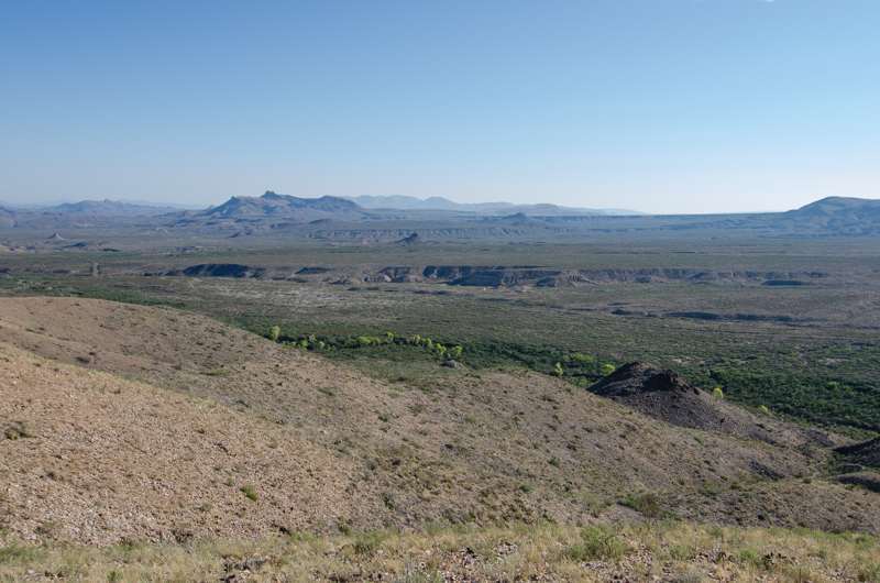
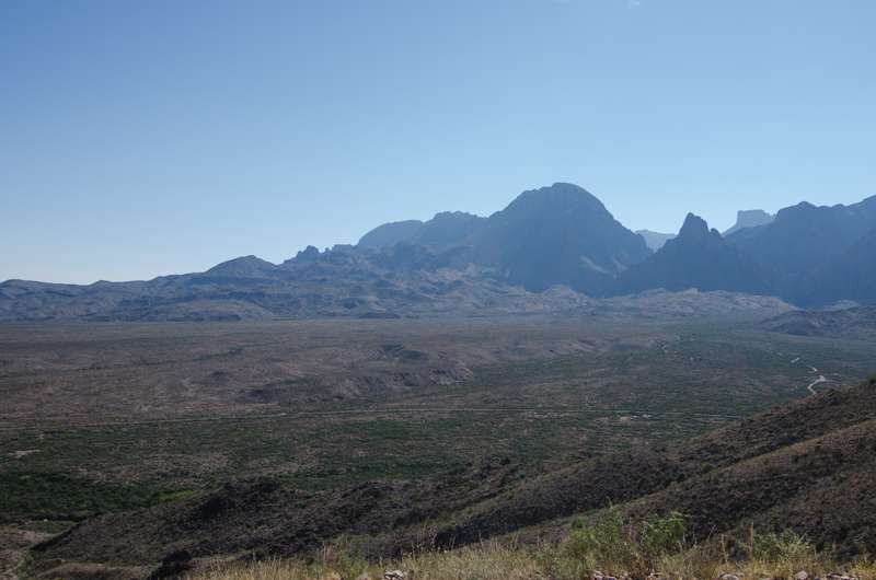
Eventually I made it to the spot where I had planned my westward turn and climb up the mesa. The cleft in the drainage off the mesa was steep and rocky and I finally climbed out and followed the ridges around a 20′ pouroff and continued up. The climb was steep and increasingly hotter as I finally made it to the top of the mesa. The view is quite good with Cottonwood Creek below, the Chisos to the east, Croton Peak to the northeast, and the Christmas mountains in the distance northwest.

The Mesa
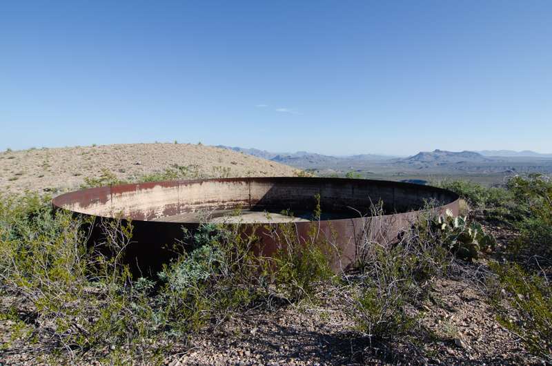
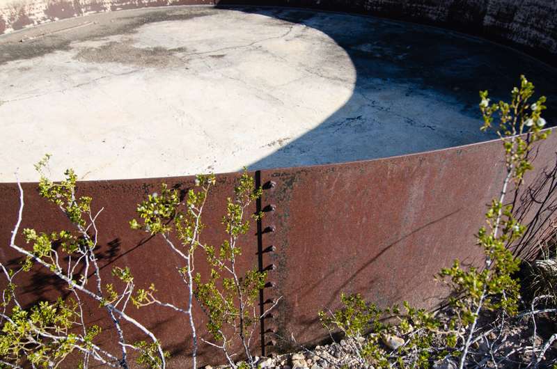
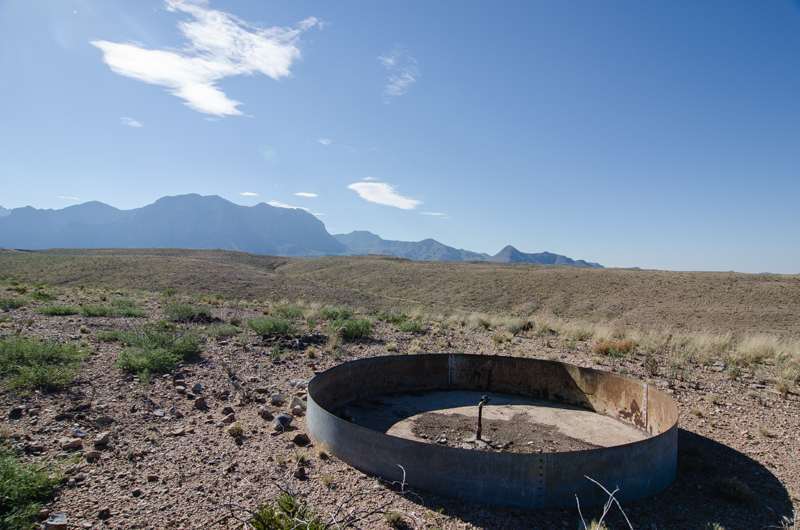
My first task was to investigate a large tank that I believe was built by Sam Nail and was used to hold water pumped up from wells at the Nail Ranch in Cottonwood Creek. This was a very large tank, set in the ground. Additionally it was about 25′ in diameter and constructed of curved steel plate bolted together. It was about 4′ above ground and about 2′ below and had a smooth concrete bottom. It appeared the joint between the concrete and steel was made watertight with tar.
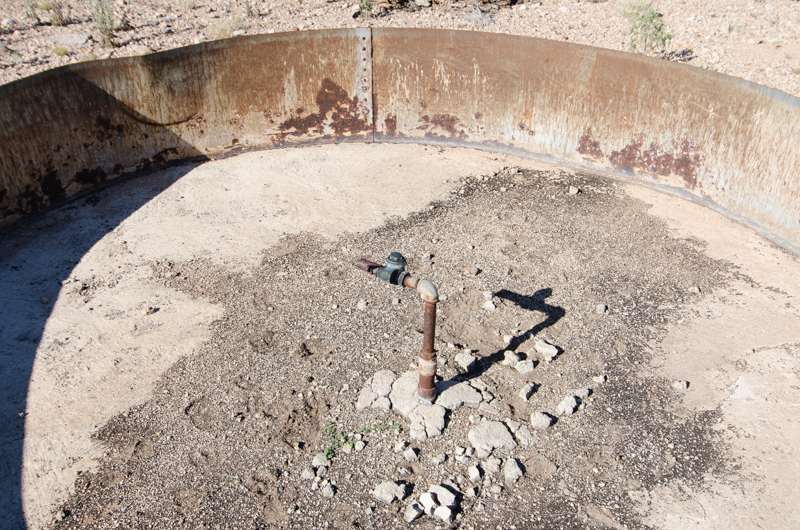
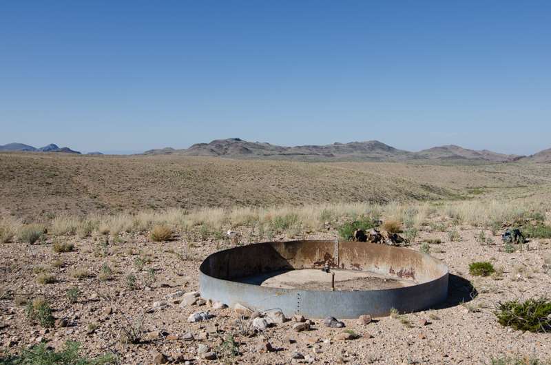
After a brief rest, water and shade I slowly followed a ridge to the west to another tank on the mesa. The second tank was about 1/2 mile from the first one and downslope about 100 ft in elevation. Although it was an easy walk, there is absolutely no shade on this part of the mesa and I was reconsidering my plan to reach Hambly Spring. I arrived at the second tank and it was very similar in construction to the first one, except it was much smaller, and made from what appeared to be a galvanized sheet rather than heavy steel plate.
In the center of the tank was a standpipe with a valve. My impressions were that water was being fed from the upper tank to this one by gravity through a pipeline. There was no sign of any piping running to this tank though.
Across the Mesa
I took some photos and rested while I looked at the terrain ahead of me toward Hambly Spring. Although not steep or overgrown, I calculated that to make Hambly, I would have a round trip of about 3 miles and a total change of -500, then +500 feet of elevation on the route. With the sun climbing higher by the minute and the temperature following, I decided that climbing back across the mesa in the heat of the afternoon wasn’t the right choice for me. I’ll have to check this route out in a little cooler weather or a cloudy day.
I headed back for the edge of the mesa and planned to hike downstream in Cottonwood Creek for awhile once I descended the mesa. I stopped at the large tank again and took another look and surveyed my descent route. My route took a bit different path down, avoided the pouroff and carefully made my way down the steep slope back to Cottonwood Creek.
Cottonwood Creek
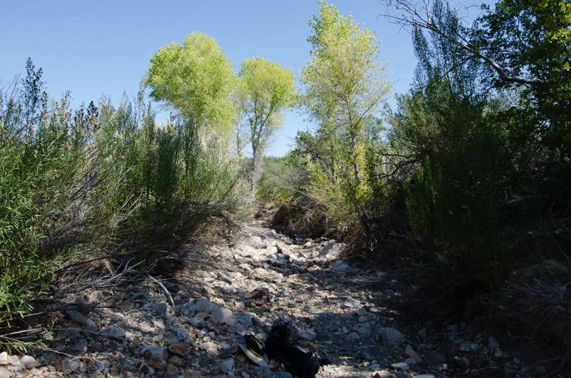
Once in the creek bed, I headed north towards the small groves of Cottonwoods that line parts of the drainage. In past I hiked Cottonwood from the road crossing. I found it to be a nice hike. Shady groves of trees, lots of birds and animal sign in the wash. There are quite a few small springs and seeps along the creek. However but I did not find much water this day. After a nice hike, I turned back to the task of getting back to the parking area at Sam Nail. It is no small task finding a suitable path through the undergrowth from the edge of the creek. After much backtracking and blood loss I finally made it back to my ride.
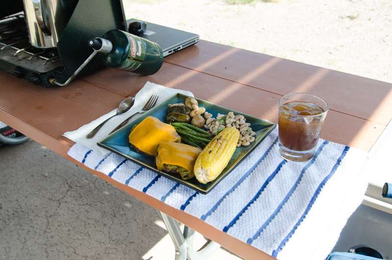
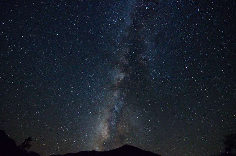
Like a good army, BK runs on his stomach. Later that day I rehydrated and grilled myself a big dinner, After that taking a few night sky pictures and crawling off to bed.
All in all it was a very good day, regardless of not achieving my goal of Hambly Spring. One thing for certain, you must be flexible and smart when solo hiking in the desert.