The Plan
Muskhog Spring Big Bend National Park was the latest in my quest to visit as many springs as possible in the park. It was a very hot morning in the desert. The hike started with a drive to the Old Ore Road, by way of the Dagger Flat road.
The Hike
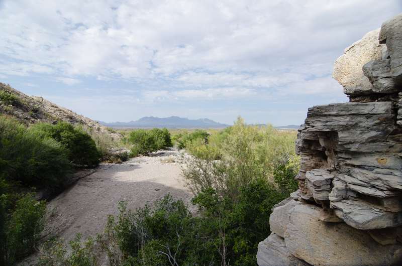
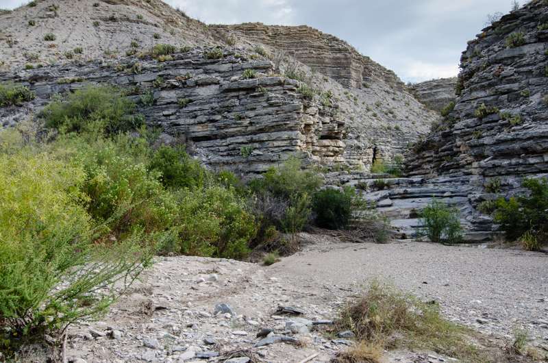
After about 2 miles south of the intersection of the two roads, I found a convenient wash to park my truck and headed south down the wash towards my destination – Muskhog Spring. Previously I had seen some indication of human activity around the spring from a Google Earth investigation. Additionally there appeared to be a structure of some kind just west of the spring. The wash is a typical sandy wash of the desert. However the character changed occasionally bisected by rocky outcrops and canyon walls.
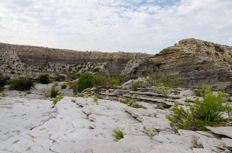
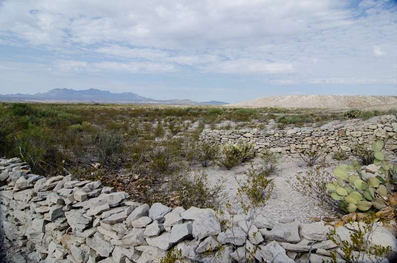
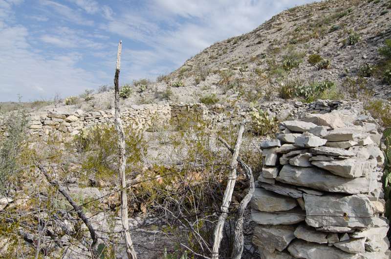
A few persimmon trees stood in a small shaded area in a sharp corner of the wash. Javelinas bolted from their morning feed as I approached a turn in the wash. They scattered into the desert with harsh barking and grunting, none too pleased with having to leave the sweet fruits. After about 2 miles into the hike I exited the wash and crossed a gap between the low hills and took a direct line to the location of the spring. Just before reaching the canyon that contained Muskhog Spring, I reached the structure that I had seen on Google Earth. The structure is a low walled stone rectangle so often seen in Big Bend. It didn’t appear to be a dwelling, but more likely a corral, evidenced by the gate-like barbed wire and timber remains at the open front wall of the structure.
The Spring
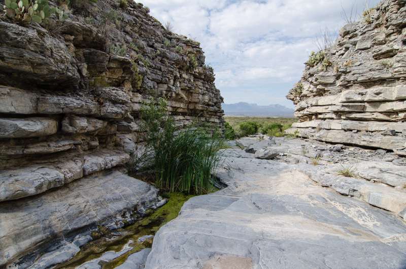
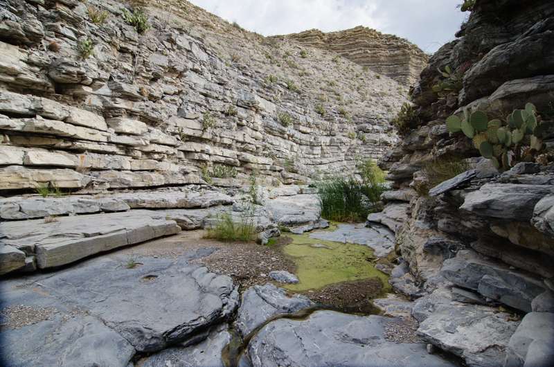
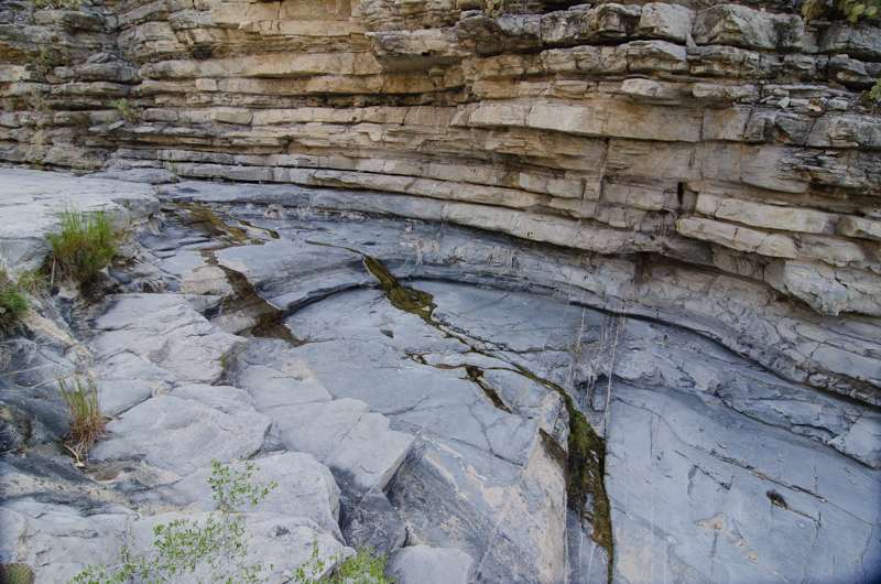
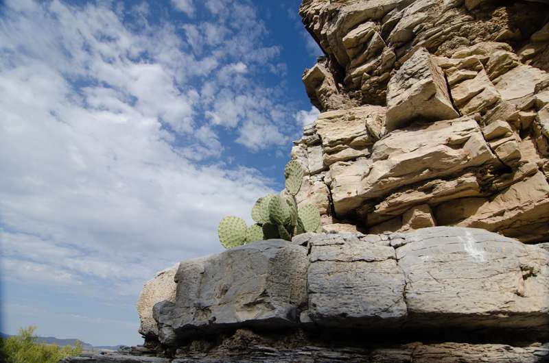
After that I worked my way along a faint trail at the base of the limestone cliff north of corral until I turned the corner into the small canyon that housed Muskhog Spring. There were multiple seeps and small rock pools near the mouth of the canyon, but no water in Javelina Creek below the mouth. Cattails were growing in two of the pools and the polished limestone canyon turned east just beyond the pools.
Tinajas
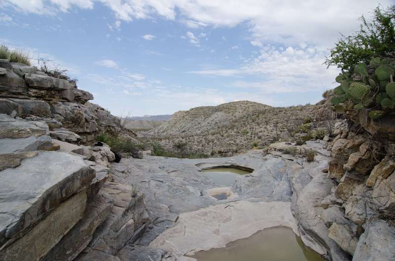
After resting, shooting a few pictures and drinking some water, I began to follow the canyon upstream to a pour-off that led to a small branch of the drainage heading north. My plan was to head up this drainage and investigate a “lake-like” feature also seen on Google Earth. Just beyond the pouroff, I found 2 moderate sized tinajas holding a significant amount of water. The water was silty, but appeared to be a remnant of recent rains. I conclude the tinajas would hold water for quite some time given the quantity present.
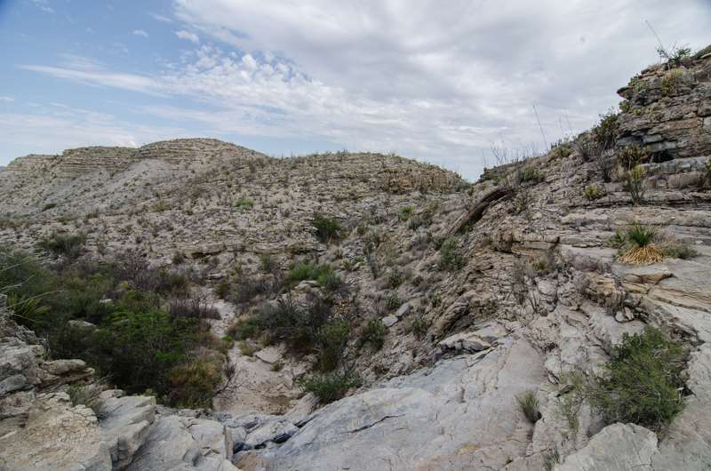
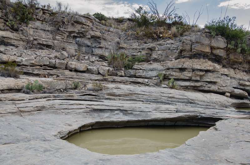
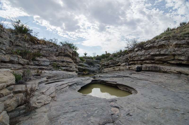
First I continued up and out of the canyon and back into the open desert paralleling a course that should take me to the “lake-like” feature. Next I found a very large area of slightly depressed landscape that would possibly hold water after adequate rains. However I didn’t find any evidence of a dam. Furthermore any other reason why this area existed other than the fact that it was a low spot. In addition the vegetation was thick and thorny in the center. So I circled around the edges as I worked my way back to my truck.
Along the way I found evidence of ranching presence. Additionally the remnants of a barb-wire fence highlighted the fact that the Big Bend, while harsh and remote, was heavily used in past. It was rapidly getting hot in the part of the park and I reached my ride before the sun became too intense to hike the lower desert.
It was an interesting hike, with water and history as always, linked closely together.
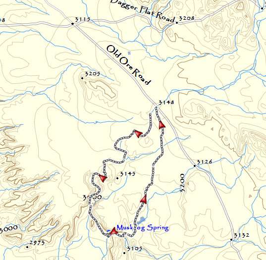
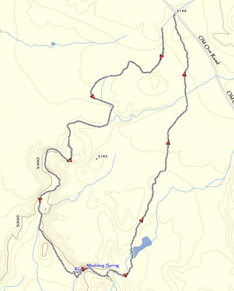
Detailed map for access to Muskhog Spring. There is a small piece of the beginning of the track missing (I was a little slow powering up my GPS)
My Grandfather (Fred Rice) used to own that land around Javelina Springs from around 1910 until the Depression, when the bank foreclosed on him. He and my Father built that stone corral in the 1920’s. My Father had many stories of growing up in the Big Bend.
It’s always interesting to hear from people who have a direct connection to the land in Big Bend. Thanks for that piece of your personal history. I always liked that area. It’s a hike with history.
The Friends of Big Bend are planning a trip tp these springs on Sept.27. Unfortunately, I have other plans on that date. However, I plan to visit the Springs the next time I am in the area, probably November.
I noticed that there are two washes into the Springs. The second one starts at a sharp curve on the Ore road. Which one did you take? It sounds like you entered on the first one and went out on the second one. Which was easier? Thanks.
I have edited this post and added some maps to the bottom. Check them out and here is a description – There appear to be 4 washes that will take you to the spring. I came in from the Dagger Flat Rd and took the Old Ore road south from there. I took the first wash, which is about 1.2 miles south of the Dagger Flat/Old Ore Junction. There is another wash about 4/10 mile further south along the Old Ore Road. It connects with the wash I took and both are easily travelled. About 3/10 of a mile further south is another wash. I actually paralleled that wash on my return, but it looks pretty thorny in places and I stayed on a small hill just west of the wash. I wouldn’t take that one, it may be pretty scratchy, but the open ground to the west of it is easy going. There is one additional wash, about 2 3/4 miles south of the Dagger Flat Road the may be the one you describe “at a sharp curve on the Ore road”. That wash is part of Javelina Creek and leads directly to the canyon that contains Muskhog Spring. When I left the spring I headed up that wash for only a short way and then climbed out and passed the tinaja that is in my report. I can’t tell you what it was like further upstream. I know that my route was straight forward and took me past the cool tinajas. Let me know if you need anything else. I do have the .gpx track file if you are interested.